 Hiking
Hiking trails in the East Coast
Sugarloaf
Sugarloaf is a campground where there is easy accessibility to trails. You can hike here even if you are not staying at the campsite. We stayed at the Sugarloaf Campsite II and hiked Middle Sugarloaf, North Sugarloaf, and Zelan Falls. (over the course of three days)
I would recommend Sugarloaf as a campsite. It’s relatively easy to book but their website can be difficult to navigate. The campsite provides a large spot for one car(so you will have your car right next to the camsight), a picnic table, and a fireplace. They have bathrooms (no sinks so bring hand sanitizer) and they have running water from faucets along the road. I don’t recommend drinking from this water as I don’t know if it’s filtered so either boil it or filter it. (We used it to wash our face and hands) This campsite is for beginners/intermediate as you do need to bring your own tent and food but they do provide bathrooms and water.
Middle Sugarloaf Hiking trail
Location; New Hampshire Length: 2.7 mi Elevation gain: 889 ft
This Hike has the most beautiful view and I recommend this if you want a trail with a good payoff. You can view the beautiful skyline and mountain ranges. The trail is rocky but not too hard and the path is clear. The hike is short and once at the top (as seen in the photo) it’s mostly all rock. There is plenty of space to walk around the entire top of the mountain and you can lay down and have lunch at the there.
Wail hiking we met two Girlscout leaders/teachers and we asked about the other Sugar Loaf mountain. They told us that it wasn’t as good as Middle Sugarloaf and that the only nice thing is that you can see Middle Sugarloaf from Nouth Sugarloaf. So we ended up not going to the other one. (shout out to them they were nice!!)
Zealand Falls Hut trail

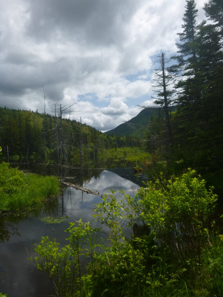
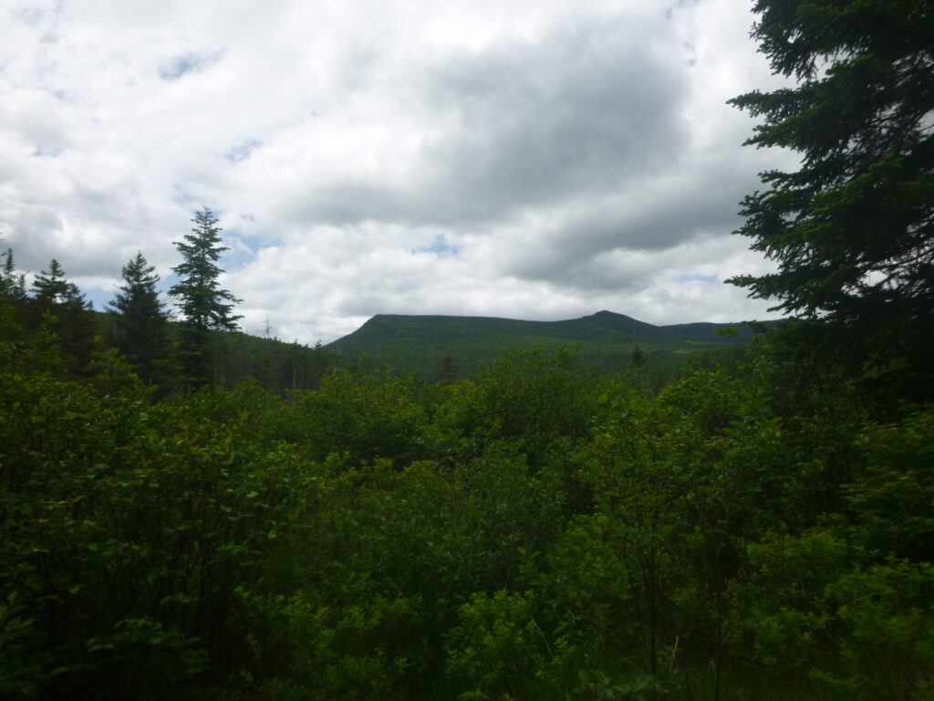
Location; New Hampshire Length: 5.4 mi Elevation gain: 603 ft
Zealand Falls is a beautiful hike. Wail it is a long trail, what I love about it, is how it leads you through multiple terrains. The beginning is in the woods with beautiful tall trees and along the path, there is a river which you can hear throughout the hike. The hike was difficult and we took it slow taking breaks to enjoy the view. After the section in the woods you walk along ponds and lakes on a wooden planked path It was spectacular and so pretty. As you get closer to the summit the terrain will be more rocky and you will be able to sit on boulders wail the water rushes past you. At the summit, the view is beautiful but can be obscured by all the tress most of the beautiful views I found were from traveling to the summit.
Parking is easy. You just park and pay a few dollars for the car. They have toilets at the base and at the top(at the cabin). They also serve some food at the cabin although I don’t know the hours of operation for the cabin so don’t rely on it for your main meal.
Mnt. Cardigan
Location; New Hampshire Length: 3 mi Elevation gain: 1,194 ft
This hike is enjoyable and very pretty the summit of the hike is entirely rock and there is a small ski hut at the top. The trail I took was pretty rocky and steep so like with many hikes keep in mind sturdy shoes to keep your ankles safe. My family calls this the Windy Hike because once at the top there are no trees or bushes to slow down the wind so it can get very windy.
Link to their mountain : https://www.nhstateparks.org/find-parks-trails/cardigan-mountain-state-park
Sunapee Mountain


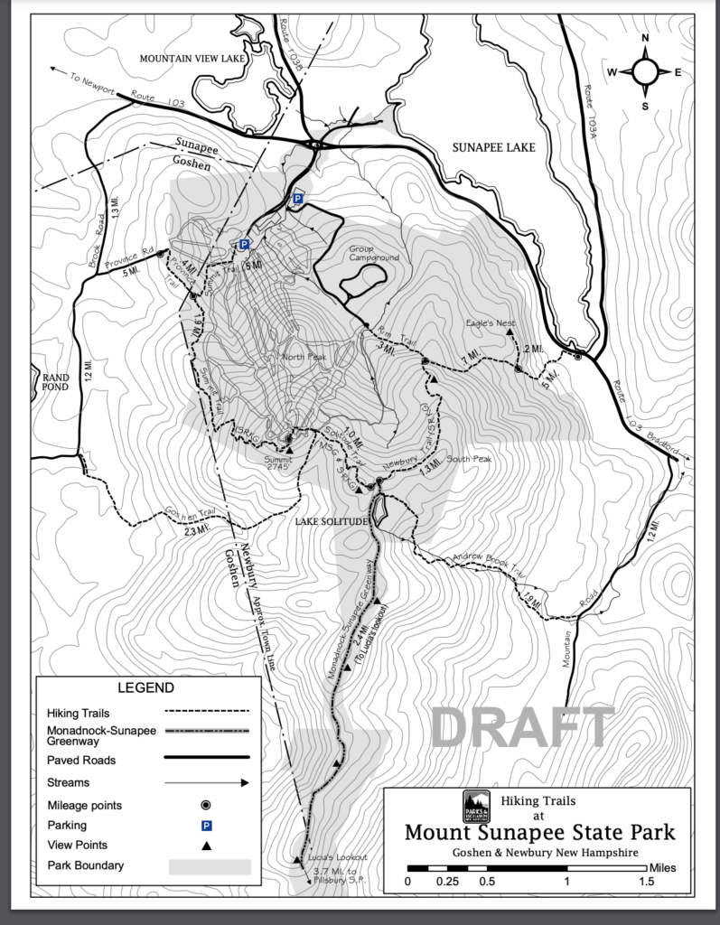
Location; New Hampshire Length: 5 mi Elevation gain:1,496 ft
During the winter this is a skiing trail but it’s open for hiking during the summer. My dog Sunny loved it as you can see. The hike is 1,496 ft feet and is a fun hike with a beautiful view. The hike is lengthy and I recommend this if you have hiked before. At the top of the mountain, you will find the ski cabin which they use during the winter so it will be locked but you can walk around it to where they have a picnic table. This hike is dog-friendly and they have portapotties at the base of the mountain(the parking area)
When driving here, make sure to download the directions or print them out because wifi is choppy and unreliable there.
Mount Manonak
.
Location; New Hampshire
Mount Manonak in New Hampshire will take 3-4 hours to complete. The top of the mountain is extremely rocky but has a beautiful view. The summit can get pretty busy with the good weather but it will not feel crowded due to the large size of the summit. The path can get steep at times but it is mostly at a reasonable elevation.
Link to their website: https://www.nhstateparks.org/find-parks-trails/monadnock-state-park
Pack Manonak trail Wapack (yellow markings)
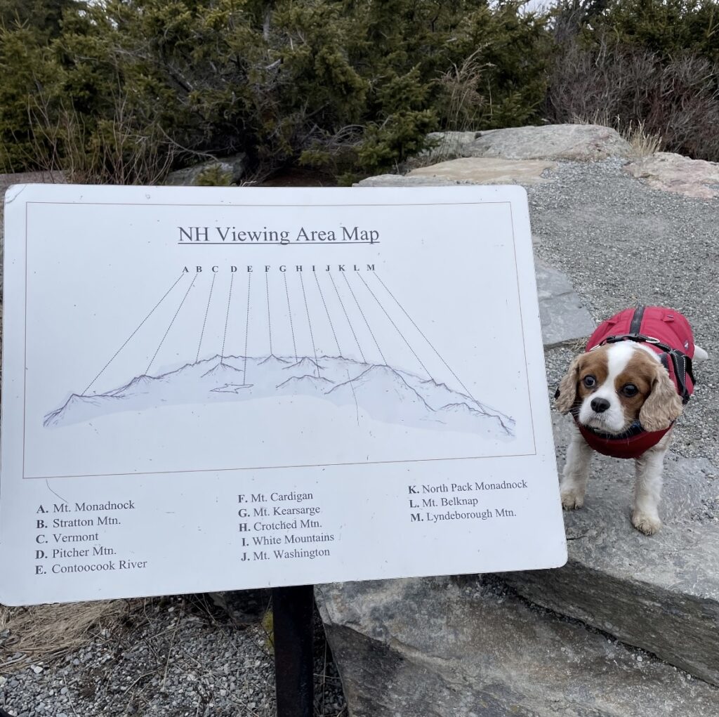

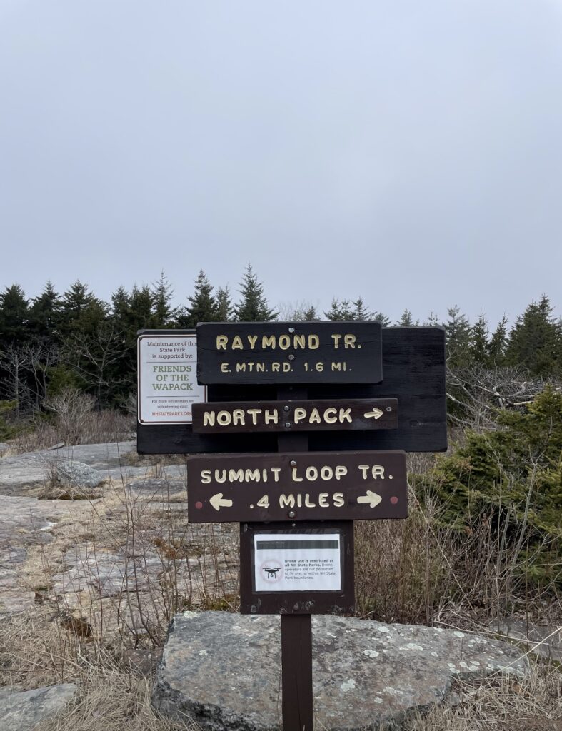
This hike was very enjoyable but sadly for us the day we hiked the summit was very foggy and we were unable to view the neighboring mountains. Nonetheless, the trip to the summit was beautiful with tall evergreen trees and streams of water gliding across the path. This hike is a good choice for beginners, my family and I had a lot of fun hiking here together.
Packing and Advise
Food
- Water (lots of water) always pack extra water you will underestimate how much water you will drink
- Snacks -Granola bars, chips, dried fruit, trail mix,
- Main meal- Sandwich, salad, grilled cheese, canned food
Clothes
- Long pants
- Athletic short sleeves and long sleeves on top (you always want to wear layers in case of a temperature change and ticks and bugs)
- Small backpack
- Hat
Essentials
- Bug spray
(Here is a photo of me being attacked by bugs so you will need bug spray)
- Trail map, compass,
- Sunscreen
- Switch army knife
- bandaids/first aid kit
Safety
- Always go with others don’t hike alone
- If you are hiking with a small group (only you and another or alone) and someone asks you if you are hiking alone never say you are traveling alone. It is ok to lie for your safety. Say something along the lines of ;
“ no, my dad is actually ahead I am just taking a break”
“No, I am just waiting for my brother to catch up”
“ No, I am here with my older cousins.”
If you are a woman, try to mention you are traveling with a man. I know it sucks but try to say you are with an older brother or boyfriend or father basically any older male person and this can help. This is not meant to scare you just to warn you so you are prepared. It is better to know all the elements of a situation even if they are negative.
What to keep in mind
Every hiking trail is home to an ecosystem (animals that work together and rely on each other for survival and food) we are simply passing by their home and observing. Do Not Go off the main path, not only can you get lost and seriously hurt you will also disturb animals’ habitats.
Secondly, a common saying you might hear is Carry in Carry out this means everything you bring with you, you must bring back including trash. Hiking trails do not provide trashcans so I always recommend bringing an extra bag with you to keep your trash secured. Please do not litter let’s work together to help keep the environment clean.
Thank you have a great day
All photos taken by Zara


